The Tygron Community Forum will be discontinued on March 6th 2026, matching the release of the 2026 version of the Tygron Platform.
Receive email notifications by changing your settings.
Click on your picture in the top right corner, go to Preferences and select your notification preferences.
Click on your picture in the top right corner, go to Preferences and select your notification preferences.
Handeling a GeoTiff in future design

Hello all,
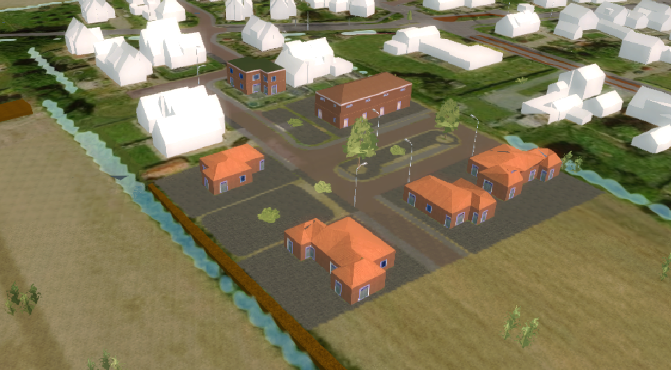
I am looking for a way to edit an eported geotiff. I want have already loaded in buildings as a future measure, but these buildings are placed on the existing surface height. I now want to change the heights of the surfaces of the houses, roads and retention areas.
I also would like to know what the best program is to do is, Civil3D or QGis?
Kind regards,
Joost
Comments
Hello Joost, have you already checked out this way to add a height model to your measure:
How to add a GeoTIFF to a measure - Tygron Support wiki ?
Hedi
Tygron Support Team