The Tygron Community Forum will be discontinued on March 6th 2026, matching the release of the 2026 version of the Tygron Platform.
Receive email notifications by changing your settings.
Click on your picture in the top right corner, go to Preferences and select your notification preferences.
Click on your picture in the top right corner, go to Preferences and select your notification preferences.
Thank you for contributing to our forum!
Please keep in mind:
1. To only comment on the topic where the discussion is about. Do you have a new question or topic? Please start a new discussion.
2. Be kind to other users!
Please keep in mind:
1. To only comment on the topic where the discussion is about. Do you have a new question or topic? Please start a new discussion.
2. Be kind to other users!
Importing a new DEM

in Water
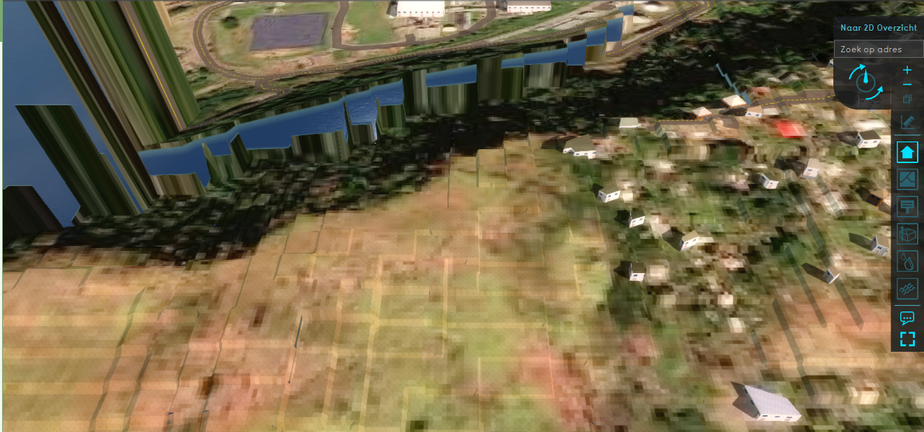
I tried to import a new DEM into Tygron because Tygron uses a 5x5 on my project location, but ive got a 1x1 ready. I used ArcGIS to change the DEM from an ERDAS Imagine format to a GeoTIFF. After exporting the GeoTIFF and importing it into Tygron it looked extremely pixilated and unrealistic (attached image). Tygron also set any grid cells without data to a height of 200+ meters, these heights actually vary. Does anyone have a clue as to what may cause this and how to fix it?
Tagged:
Answers
Hello @Niels Bolt ,
If you upload the GeoTiff in Qgis/ Arcgis, do you stll see the large cells? This is what I usually do for comparisson.
For the conversion/ no data I unfortunately am not a proficient user of ArcGis to help you there. I will ask around, and maybe another user can chime in too?
Regards, Vincent
Hi Niels,
based on the screenshot, I strongly suspect that the values in the resulting geotiff might be an order of magnitude off. Tygron expects a Geotiff with a grid of values in meters, relative to datum. Could you check whether the dataset you have used is in meters, or perhaps in decimeters or so?
The GeoTiff format also specifies a way to define NO-DATA values. These are defined as some specific number (usually very high or very low) which nominally mean that the real value is unknown. If a NO-DATA value exists in your geotiff, Tygron will not modify its DEM in that location when importing it. Please check whether the GeoTiff is created with a NO-DATA correctly defined.
Regards,
Rudolf