The Tygron Community Forum will be discontinued on March 6th 2026, matching the release of the 2026 version of the Tygron Platform.
Click on your picture in the top right corner, go to Preferences and select your notification preferences.
Please keep in mind:
1. To only comment on the topic where the discussion is about. Do you have a new question or topic? Please start a new discussion.
2. Be kind to other users!
Interpolate and convert measured cross sections to raster
At the waterboard we measure cross sections each 100 to 200 metres. The cross sections are stored as points with a height attribute in the database ' Beheerregister' . To use these cross sections in Tygron I want to interpolate and convert them to a grid. With the regular tools in ArcGIS Pro I am unable to properly interpolate the cross sections. These tools interpolate ' linearly' so that is only works when the stream is straight. Applying a mask in ArcGIS Pro is only for postprocessing and has no effect on the final results. I'm looking for a method/ tool to interpolate the cross sections in a way that also takes into account the location and curves in the stream.
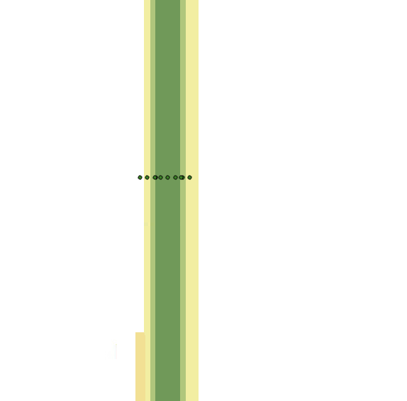
Interpolation on straight parts of the stream work fine.
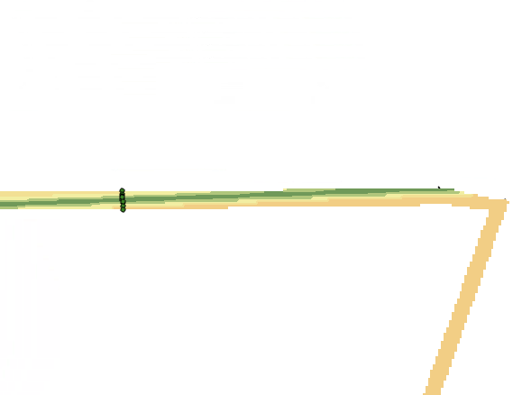
Interpolation at curves goes wrong.


Comments
Hi @Keuljo01 ,
Thanks for your post!
@Len Geisler, @Waternet 2 , @Jesse Jager you mentioned yesterday at the CoP Oppervlaktewater your methods for this question.
Could you share these steps here too?
For more information about this question, see also this video (Dutch only):
Tygron support team
Hi @Keuljo01 ,
To generate a relevant elevation map (resolution 0.5x0.5 m) point values at a distance of 100 to 200 metres is very coarse. When you apply linear interpolation, the algorithm searches for the closest point and will cutoff corners as shown in your figure. The most practical way to solve this issue is to generate more points with elevation data to feed the algorithm, especially within corners. For the city development projects I'm working on, we use the steps below:
The most extensive work within this method is in the first and second step, because these are case specific. Steps 3 until 6 can be automated.
Hopefully this will help you. Otherwise, I can also show some examples from our Groenewoud project.
Cheers,
Christian